Severe Thunderstorm Watch Hits Milwaukee Area As Voters Head To Polls For Wisconsin Primary Election
Severe weather poses challenges for voters as Wisconsin holds pivotal primary election
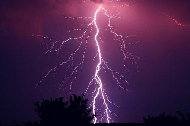
MILWAUKEE — A Severe Thunderstorm Watch was issued Tuesday morning for large portions of southern Wisconsin, including the Milwaukee metro area, as voters across the state headed to the polls for Wisconsin's 2026 fall primary election.
The National Weather Service issued the watch at 7:20 a.m. and said it would remain in effect until 2 p.m. The watch covers Crawford, Dane, Grant, Green, Iowa, Jefferson, Kenosha, Lafayette, Milwaukee, Racine, Richland, Rock, Sauk, Walworth and Waukesha counties, encompassing much of southeastern and south-central Wisconsin, including the cities of Milwaukee, Madison, Racine, Kenosha and Waukesha.
Forecasters said the primary concern Tuesday is a round of storms expected to move through the region during the late morning and early afternoon hours, with the potential to produce damaging winds, heavy rain and localized flooding. The greatest risk for severe weather was expected south of Interstate 94, particularly in counties along the Illinois state line.
The National Weather Service's forecast for the Milwaukee area called for showers and thunderstorms mainly before 2 p.m., with some storms capable of producing heavy rainfall. Forecasters projected a high near 80 degrees, with an 80% chance of precipitation and new rainfall amounts between a half inch and three-quarters of an inch possible across the watch area. Outside of the storms, Tuesday was expected to remain warm and humid.
For voters planning to head to the polls, forecasters noted there would be stretches of dry weather both before the storms arrive and again after they move through the region, offering windows of opportunity to vote without encountering the heaviest rain.
Tuesday's storms arrive as Wisconsin holds its 2026 fall primary election, a significant vote that will help determine the state's general election ballot in November. The primary comes during an unusually consequential election cycle for Wisconsin, with incumbent Democratic Gov. Tony Evers, the state Senate majority leader and the state Assembly speaker all having announced they will not seek reelection, meaning all three of the state's top executive and legislative leadership positions are set to change hands simultaneously for the first time since 2010. Tuesday's primary will narrow the field of candidates competing for governor and other statewide partisan offices ahead of the November 3 general election, when all of Wisconsin's partisan executive and administrative offices, all eight of the state's U.S. House seats, and dozens of state legislative seats will be on the ballot.
Tuesday's severe weather threat follows a stretch of active storm activity across southeastern Wisconsin in recent days. A Severe Thunderstorm Warning was issued for Milwaukee and southeastern Waukesha County on Sunday, with the National Weather Service reporting a severe thunderstorm near Hales Corners producing wind gusts up to 60 mph and penny-sized hail, conditions forecasters warned could cause damage to roofs, siding and trees across a wide swath of communities including West Allis, Wauwatosa, New Berlin, Brookfield, Muskego and South Milwaukee. A separate Special Marine Warning was issued the same day for Lake Michigan's nearshore waters between Sheboygan and the Illinois state line, citing wind gusts capable of damaging small craft.
The heightened attention to potential flooding this week also comes almost exactly one year after one of the most damaging weather events in recent Milwaukee history. On August 9 and 10, 2025, a series of severe flash floods struck Milwaukee and its surrounding suburbs, with the suburb of Wauwatosa particularly hard-hit. The flooding, driven by a slow-moving weather system that produced Milwaukee's second-highest recorded two-day rainfall total, killed at least two people after the Kinnickinnic River overflowed its banks and caused widespread property damage across the region. The Wisconsin State Fair canceled its final day that year due to the flooding, and then-Gov. Evers declared a state of emergency to support cleanup efforts, with federal disaster relief funds later approved for the affected areas.
Meteorologists have noted that Wisconsin has experienced an active severe weather year more broadly in 2026, with the state's tornado count reaching 46 as of early August, according to figures tracked by the National Weather Service's Milwaukee/Sullivan office.
Election officials in Wisconsin have not indicated any plans to extend voting hours or make special accommodations in response to Tuesday's severe weather forecast, and polling locations across the affected counties were expected to remain open on their regular schedule throughout the watch period. Voters concerned about weather conditions were encouraged to check local forecasts and plan their trips to the polls around the windows of drier weather identified by forecasters before and after the midday storm threat.
The National Weather Service said it would continue monitoring conditions throughout the day and would issue additional warnings if storms strengthen or produce more severe impacts than currently anticipated. Local broadcasters across the Milwaukee market said they would continue tracking the storms and any warnings issued as the watch period progressed into the afternoon.
Residents in the affected counties were advised to stay alert to changing conditions throughout the day, particularly given the potential for localized flooding in areas that received heavy rainfall during Sunday's storms, which could leave some low-lying areas more vulnerable to standing water if Tuesday's system produces similarly heavy rain totals.
© Copyright 2026 IBTimes AU. All rights reserved.
- Recommended For You