

NOAA Gives 81% Odds This Winter's El Niño Could Be the Strongest Ever Recorded, Reshaping Global Weather
El Niño's unprecedented intensity could lead to dramatic shifts in weather patterns worldwide, with significant implications for global temperatures and seasonal forecasts.
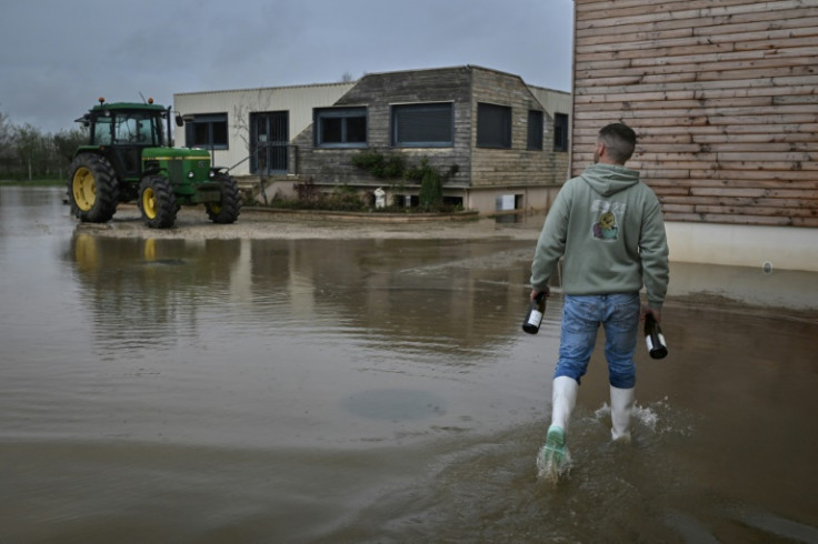
A rapidly intensifying El Niño event is now on track to become the strongest on record, according to the latest forecasts from the National Oceanic and Atmospheric Administration and other major weather agencies, setting the stage for potentially dramatic shifts in global weather patterns through the end of 2026 and into 2027.
NOAA now gives 81% odds that the developing El Niño will rank among the most intense events observed in 155 years of modern climate records, a sharp jump from just 37% two months earlier. Sea surface temperatures in the Pacific's key monitoring region have already crossed the threshold that defines a "super" El Niño, weeks ahead of when such intensity typically develops.
What's driving the surge in confidence
Climate scientists attribute much of the recent jump in forecast confidence to what's known as the "Spring Predictability Barrier," a well-documented phenomenon in which El Niño forecasts made before the Northern Hemisphere spring tend to be less reliable, since chaotic atmospheric variability during that season can overwhelm signals coming from ocean temperatures. Once that barrier passes, typically by June or July, forecast accuracy improves substantially.
This year's forecasts, now past that seasonal barrier, show unusual consistency across modeling systems. The GFDL climate center ran its SPEAR forecast model 30 separate times using slightly different starting conditions, and every single run projected a peak El Niño intensity competitive with the strongest events of the past century, with none projecting a merely moderate outcome. In ensemble forecasting, that level of agreement across independent runs is considered a rare and strong indicator of forecast confidence.
Meteorologist Ben Noll noted that sea surface temperatures in the Niño-3.4 region, the primary area used to track the phenomenon, had remained at record-high levels for a full month, edging close to the 40-day streak set during the historic 1997 El Niño, one of the strongest such events in the modern instrumental record.
How this compares to past events
According to climate researcher Zeke Hausfather, no year in the 45-year satellite temperature record has shown ocean warming this intense this early in an El Niño's development, exceeding even the pace seen in 1997 and 2015, the two previous benchmark years for major El Niño events. Because El Niño events typically peak near the end of the calendar year, usually between November and January, scientists say there remains significant room for further intensification before this year's event reaches its maximum strength.
Current model projections show sea surface temperature anomalies in the equatorial Pacific potentially reaching between 3 and 4 degrees Celsius, or roughly 5.4 to 7.2 degrees Fahrenheit, above average, a level that would place the event among the strongest ever documented. Nearly every major forecasting model's projected median outcome now falls within "super" El Niño territory, with most models projecting a peak above the benchmark set during the 2015-2016 event.
Global temperature implications
The developing event carries implications well beyond weather patterns alone. Kevin Trenberth, a climate scientist at the University of Auckland, said global average temperatures are almost certain to reach record levels from now through mid-2027, with either 2026 or 2027 likely to become the hottest calendar year ever measured. Because global temperature changes tend to lag the underlying ocean warming driving El Niño by roughly three to five months, most of the anticipated temperature increase associated with this event is expected to be felt in 2027 rather than immediately.
World Meteorological Organization Secretary-General Celeste Saulo has warned that strengthening El Niño conditions will heighten the risk of both drought and heavy rainfall in different regions, along with an increased likelihood of heatwaves on land and in the ocean, prompting governments and emergency management agencies in multiple countries to begin preparing for potential impacts.
What it could mean for winter weather
Meteorologists tracking the event say a strong El Niño typically produces a persistent area of low pressure in the North Pacific, which tends to push the polar jet stream farther north and bring warmer-than-normal conditions to the northern United States and western Canada. At the same time, a strengthened southern branch of the jet stream generally increases storm activity and precipitation across the southern half of the United States.
Given the record strength projected for this particular event, some forecasters caution that typical seasonal patterns may not fully capture what unfolds this winter, particularly as the season progresses into its coldest stretch. Early forecast trends for January point toward a high-pressure blocking pattern over Canada paired with an active storm track stretching across the western, southern and eastern United States, a setup that could elevate the potential for significant winter storms in parts of the country, depending on how much cold air becomes available to interact with the moisture-rich systems.
A wildcard for the stratosphere
Strong El Niño events have also historically increased the likelihood of a sudden stratospheric warming event, a rapid disruption of the polar vortex that can allow cold Arctic air to spill further south into the United States, Canada and Europe. Seasonal forecast data has already shown early signs consistent with a potential polar vortex disruption heading into January, a pattern some meteorologists have linked to the kind of cold-air outbreaks seen in past strong El Niño winters.
With El Niño's typical peak still months away, forecasters expect continued intensification through the fall before the event reaches its maximum strength around the end of the year. NOAA has also indicated a 97% probability that El Niño conditions will persist through early spring 2027, meaning its influence on global weather patterns is likely to extend well beyond the coming winter season.
As additional forecast data becomes available in the coming months, climate agencies are expected to refine their projections further, offering a clearer picture of just how extreme this year's event may ultimately become, and what that could mean for communities across North America, Europe and beyond as the Northern Hemisphere heads into what may be one of the most closely watched winters in recent memory.
© Copyright 2026 IBTimes AU. All rights reserved.