

Powerful Heat Dome Barrels Toward East Coast, Threatening Record Highs for Over 110 Million Americans
Extreme Temperatures and Severe Weather Threaten Millions as Heat Dome Expands
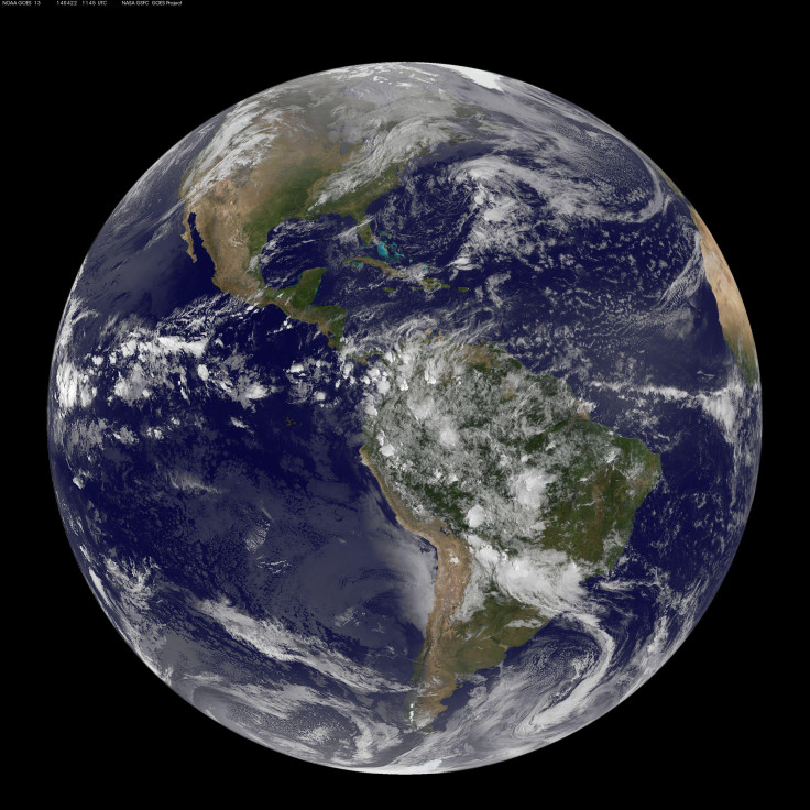
One of the strongest heat domes on the planet was set to move over the East Coast this week, bringing potentially record-breaking temperatures after already scorching the Intermountain West and parts of Canada with extreme, and in some cases historic, heat.
The sprawling area of high pressure delivered 115-degree heat to Montana on Sunday and 100-degree heat to Michigan's Upper Peninsula on Monday. Meteorologists say the system currently rivals another intense heat dome over northern Africa, making the two the strongest currently affecting the globe.
As of early Tuesday, more than 110 million people across the United States were covered by heat alerts, according to forecasters tracking the system's eastward expansion. Temperatures were forecast to push toward 100 degrees from the Dakotas to New Hampshire on Tuesday, before the most searing conditions arrived in the Mid-Atlantic region on Wednesday.
Sultry Nights Add to the Danger
Beyond the daytime highs, forecasters warned that the Northeast and Mid-Atlantic would also see a stretch of unusually warm nights, with overnight lows only falling into the mid-70s to around 80 degrees in some areas. That lack of overnight relief can compound heat-related health risks, particularly for vulnerable populations without reliable access to air conditioning.
In Boston, forecasters projected a record-high overnight low of 80 degrees between Tuesday night and Wednesday morning, a mark that would nearly match the city's average daytime high for this time of year.
Severe Storms Possible on the Heat Dome's Edge
The heat dome's northern edge was also expected to bring severe weather risk to parts of the Northeast. Forecasters flagged an enhanced risk, rated a Level 3 out of 5, for severe thunderstorms across parts of northern New York, Vermont, New Hampshire and Maine on Wednesday, with the potential for damaging winds and a few tornadoes in a region where such storms are relatively uncommon.
Wildfire Smoke Compounds Conditions in Canada
The same system brought extreme heat, high humidity and gusty winds deep into Ontario, Canada, where Thunder Bay reached a record high of 39.1 degrees Celsius, or 102.4 degrees Fahrenheit, on Monday. The record heat came even as wildfire smoke dimmed skies across the region.
Forecasters said that smoke was expected to drift across the Great Lakes and into the Northeast on Wednesday, creating hazy skies and potentially degrading air quality in cities including Minneapolis, Detroit, Buffalo and New York.
The National Weather Service office in Binghamton, New York, warned of the smoke's potential density heading into Wednesday.
"The smoke plume later tonight into Wednesday could be quite thick," the office wrote.
Records Within Reach Across the Region
Forecasters identified several cities where Wednesday's and Thursday's temperatures could approach, tie or break existing records. Baltimore and Atlantic City were forecast to reach 102 degrees on Wednesday. Washington, D.C., Philadelphia and Newark were expected to hit 101 degrees on Wednesday, with Baltimore forecast to reach that same mark again on Thursday.
Wilmington, Delaware, was projected to reach 100 degrees on Wednesday, while New York's JFK International Airport, along with Harrisburg and Reading in Pennsylvania, were forecast to hit 99 degrees the same day. Albany, New York, was expected to reach 98 degrees on Tuesday.
Forecasters estimated that more than 55 million Americans could face temperatures of 100 degrees or higher through the coming weekend as the heat dome continues its push eastward.
A Warning on Vehicle Safety
With extreme heat settling over densely populated areas, forecasters renewed warnings about the dangers of leaving children and pets inside parked vehicles, even briefly. The National Weather Service office in Mount Holly, New Jersey, issued a stark reminder as the heat wave intensified.
"Do not leave young children and pets in unattended vehicles. Car interiors will reach lethal temperatures in a matter of minutes," the office wrote.
A Shorter, but Still Intense, Event
Despite its strength, forecasters said this particular heat dome was expected to fade by the weekend, making it shorter in duration across the eastern U.S. than an earlier, record-breaking heat event that struck the region earlier in July.
Part of a Broader Warming Trend
The current heat wave adds to what has already been a record-setting year for warm weather across the country. So far in 2026, there have been 7,372 monthly temperature records set for daytime or overnight warmth nationwide, compared with just 381 records set for cold conditions, according to meteorologists tracking the data. That imbalance means that for every cold-temperature record broken this year, roughly 19 heat records have been set.
Notably, that trend has persisted despite a winter that was among the coldest in a decade or more across large swaths of the eastern United States, according to forecasters, underscoring how individual seasonal extremes can occur even as the broader climate trends warmer over time.
Meteorologists say the pattern remains consistent with expectations for a warming planet. With forecasters also tracking growing odds of what could become the strongest El Niño on record this year, chances for additional record global warmth are expected to persist into 2027.
What Comes Next
As the heat dome pushes into the Mid-Atlantic and Northeast through midweek, forecasters are urging residents across the affected region to take precautions, including staying hydrated, limiting outdoor activity during peak afternoon heat, and checking on vulnerable neighbors, particularly the elderly and those without air conditioning, as temperatures climb toward or past the century mark in multiple major cities.
© Copyright 2026 IBTimes AU. All rights reserved.