El Niño To Bring Colder-Than-Normal Winter Temperatures Across Canada
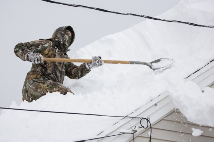
Canadians ought to brace for a return of 2013's bitter winter conditions, the Weather Network announced. Fueled by a weak yet developing El Niño system in the Pacific Ocean, the weather watcher said biting temperatures will occur across the eastern Prairies, Ontario and Quebec.
The good news is, Weather Network says it doesn't see the cold weather making a long presence as well as it could not be as frigid as last winter. It added the B.C. area could experience just near or above normal temperatures.
Doug Gillham, Weather Network meteorologist, said on Tuesday the weather forecast across Canada for the months of December, January and February will "resemble, but not replicate last year." If for any consolation, the looming winter weather forecast will get "more breaks this year" compared to 2013's "relentless" one. Still, Canadians were advised to "expect below seasonal temperatures, just not quite as harsh as last year.
Chris Scott, Chief Meteorologist, said during December, the weather pattern will be a rollercoaster with outbreaks of cold air coupled with stretches of milder temperatures. It is during January and February that winter will really be felt, "with more frequent outbreaks of extreme cold."
The water temperatures in the Pacific Ocean will very much fuel Canada's winter conditions. Describing them as the "engine that drives the atmosphere," Scott noted the waters are currently slightly warmer than usual from South America to the central Pacific, depicting an El Niño phenomenon.
The prevailing weak El Niño can go one of two ways, he said. Either a lot of snow gets dumped in Ontario and Quebec, or these areas receive a meagre snowfall because most of them landed in the northeastern U.S.
Below is Weather Network's winter outlook, 2014-15:
Region | Temperature Outlook | Precipitation Outlook |
British Columbia | Above normal in most of the southern part of the province. Near normal elsewhere. | Below normal in the southern part of the province. Near normal elsewhere. |
Alberta | Near normal. | Below normal in the extreme southern part of the province. Near normal elsewhere. |
Saskatchewan | Below normal in the extreme eastern part of the province. Near normal elsewhere. | Near normal. |
Manitoba | Below normal almost everywhere except the area close to Hudson Bay where near normal temperatures are more likely. | Near normal. |
Ontario | Below normal almost everywhere except for areas near Hudson Bay where near normal temperatures are more likely. | Near normal. |
Quebec | Below normal almost everywhere except the northern part where near normal temperatures are more likely. | Near normal almost everywhere except above normal across the Lower North Shore, Gaspésie and Eastern Townships. |
Maritimes and Newfoundland | Near normal across most of the region except northern New Brunswick which is expected to be below normal. | Near normal across Nova Scotia and eastern Newfoundland. Above normal through New Brunswick, P.E.I., western Newfoundland and most of Labrador. |
Yukon, Northwest Territories, Nunavut | Generally near normal except for southeastern N.W.T. and southwestern Nunavut. | Below normal in the southwestern part of Yukon. Near normal elsewhere. |
- MOST POPULAR IN Politics & Policy