Super Typhoon Neoguri Update: Okinawans Urged to Relocate; Expect Massive Wind Damages, Flooding; JMA Raises Highest Alert; Kadena Air Force Base at Risk
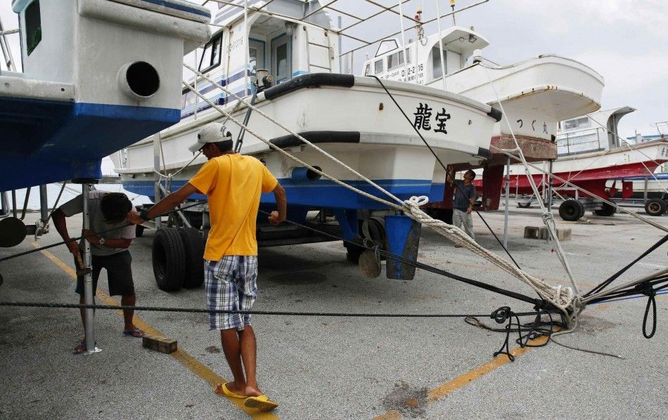
The Japan Meteorological Agency has issued what could be its highest alert to warn residents of Okinawa and the rest of the country to relocate to higher grounds in anticipation of massive wind damages and localised flooding brought by super typhoon Neoguri.
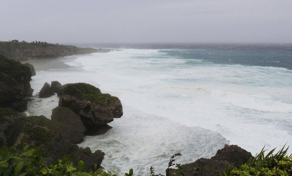
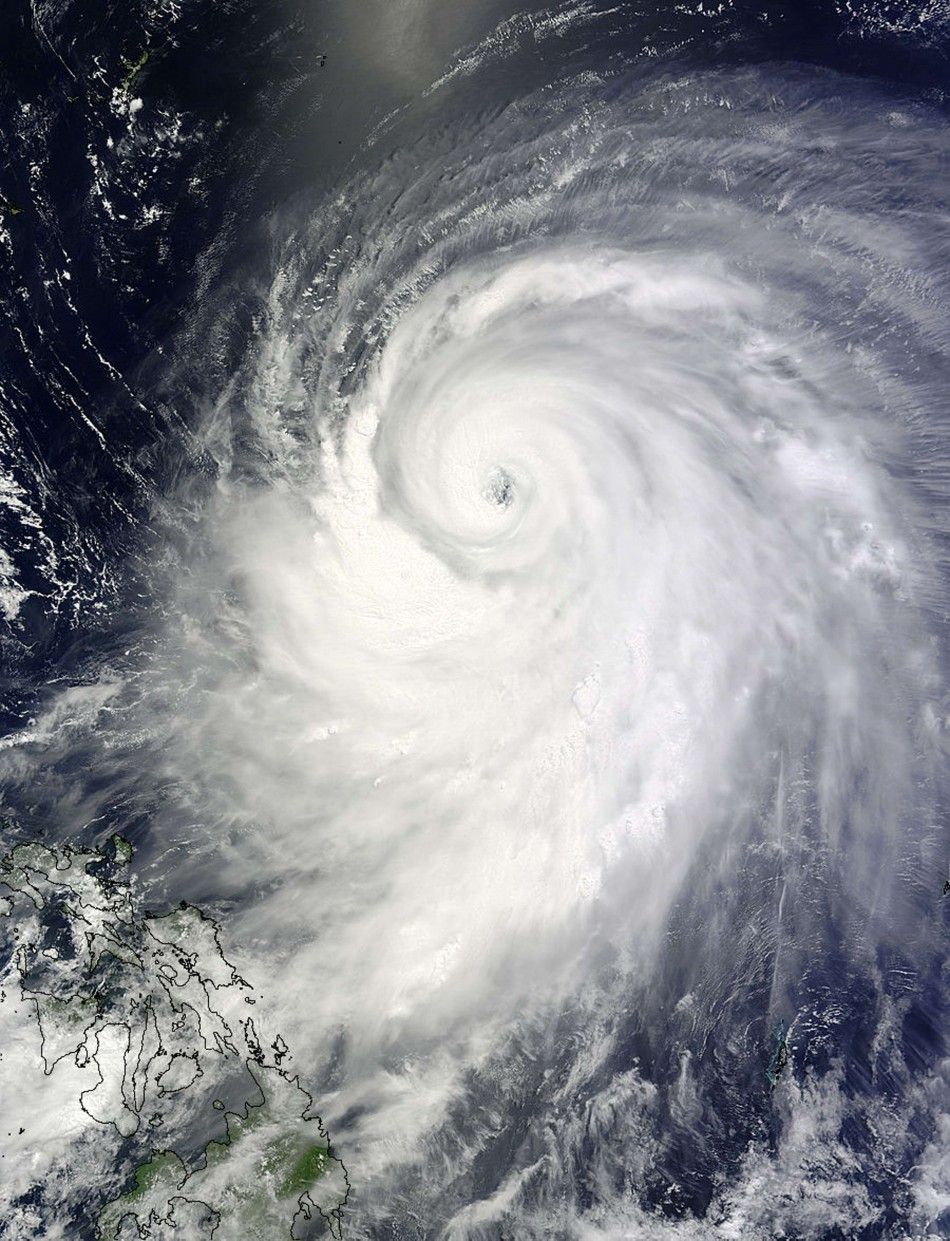
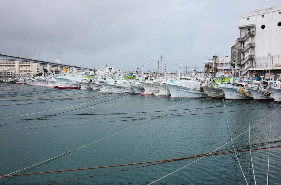
Neoguri is currently lashing over Ryuku Islands, a string of more than 100 islands that make up the southernmost part of the Japanese archipelago. Its biggest island is Okinawa, which holds Kadena Air Force Base, the largest U.S. military installation in the Asia-Pacific region. Some 55,000 people have been urged to evacuate.
"We advised all 55,000 people in Miyako at 10:00 p.m. (1300 GMT Monday) to evacuate to facilities such as community centers and municipal buildings," Miyako disaster official Katsuhiro Koja told AFP.
Neoguri's maximum sustained winds currently stand at 205 kph (125 mph).
Meteorologists from AccuWeather.com said they expect Neoguri to be super typhoon status when it reaches the gap between the Ryukyu Islands of Miyako Jima and Okinawa on Tuesday, local time.
"Residents and visitors in the path of this intensifying and dangerous storm should already be taking the necessary preparations and heed all evacuation orders."
Read: Japan Advised to Brace for Neoguri, 2014's First Super Typhoon; Okinawa Will Receive Worst Impact
Okinawa could expect to receive rainfall rates of 50 mm (2 inches) or greater per hour at times, sustained winds as high as 160 kph (100 mph) with gusts up to 210 kph (130 mph).
"Record-level violent winds and high waves are posing a serious danger to the Miyako island region," Satoshi Ebihara, the Japanese weather agency's chief forecaster, told an evening news conference.
"People are advised to refrain from going outdoors... evacuate if necessary before violent winds occur and take appropriate action to protect themselves," he said.
The southern Ryukyu Islands could experience large storm surges in excess of 6 m (20 feet).
Although meteorologists said Neoguri will weaken once it crosses Japan, residents should remain cautious.
"By the time all is said and done, localized rainfall amounts in excess of 380 mm (15 inches) will slam parts of Japan with the most likely locations being the Ryukyu Islands, Kyushu, Shikoku, eastern Honshu and Hokkaido," AccuWeather.com Meteorologist Evan Duffey said.
"Wind damage will be widespread, especially over the Ryukyu Islands and Kyushu. Port cities and low-lying areas will be inundated by storm surge."
