Weakened Typhoon Nuri In The Pacific May Affect US, Canada Weather Systems
Typhoon Nuri that has seen to weakened from a super typhoon status since Monday, has been forecast to affect the weather system in the United States and Canada in the coming days.
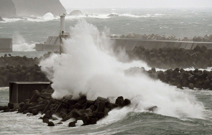
Nuri's path is currently parallel to Japan, with estimated winds at 105kts. Heavy rainfall may pass near or over the coast of eastern Honshu by Wednesday night through Thursday. It will continue to track N/NE and will accelerate northward as it continues to weaken. Some weather experts believed it may develop into a monster storm near Alaska by this weekend as it undergoes extra-tropical transition over the next two days.
Nuri's remnants may become one of the most intense extra-tropical cyclones in recorded history that could possibly alter the North Pacific Jetstream. Weather forecasters are observing a big ridge of high pressure to build over the western U.S. that could enable the much colder air of Canada to spill southwards & eastward. This will make the midwest & east coast stormier and much colder by the end of the week.
Nuri's effects could be felt in New York City as a likely round of heavy rain and mild air. The storm could create snow for some parts of the Midwest. Temperatures in New York, by around Saturday, could likely reach the mid-to-upper 40s.
Heather M. Archambault, a scientist at the University Corporation for Atmospheric Research and an expert on the complex atmospheric feedbacks between recurving typhoons, told Mashable such weather systems like Nuri "increase the chance of having extreme weather across North America" because its air gets funneled into the North Pacific jet stream. Such occur three to five days later. The jet stream gets disturbed by the air that gets added into it, she said, noting that as of Monday, the jet stream across the North Pacific was already "kind of stretched out and ready to be perturbed."
In Canada, Nuri will help direct colder air downward through the Prairies into southern Ontario, bringing December-like temperatures into the region, according to Weather Network meteorologist Dr. Doug Gillham.
"This storm is really impressive, it's forecast to explosively re-intensify as an extratropical cyclone," Archambault said. "The impacts will be felt far downstream because of the energy it provides to the jet stream."
Heads up: #Bering Sea, #GreatCircle shipping, and coastal communities. A big storm is developing Friday. #AKwx @NWS pic.twitter.com/KltWg0o2v8
— NWS Anchorage (@NWSAnchorage) November 3, 2014
Typhoon Nuri reached and remained a category 5 for 24 hours, while maintained its 180 mph winds for at least 18 hours. It has weakened into a category 4 hurricane since Monday, tying it with Typhoon Vongfong as 2014's strongest storm.
- MOST POPULAR IN Politics & Policy