Century Old Shipwreck Photographed Under Lake Michigan's Clear Water
The winters of 2014 was of interest to the photographers since they got to capture the frozen beauty of Lake Michigan. However, now that the ice has melted, the ice caves and boulders have paved way to the crystal clear blue water. The immense clarity offered one of the coast guard an opportunity to capture the aerial photograph of a century old shipwreck.
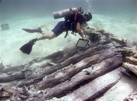
The photograph of the old shipwreck has been captured near the Sleeping Bear Lakes National Seashore. The vessel is believed to have sunk to the bottom of the lake centuries ago. Reportedly, the shipwreck becomes visible often due to the environmental changes such as reduced water level and beach erosion. However, since the shipwreck is considered as a public property, it is illegal to disturb it from its original location, reported The Huffington Post.
The aircrew, stationed in Traverse City, Michigan, posted the photograph of the shipwreck on the aircrew sevice Facebook page, as soon as they photographed it during the routine patrol. The photograph description reveals that it is a 121 foot “James McBride” that sank during a storm in October 1857. In addition, it reveals that the remains of the shipwreck lie 5 to 15 feet deep in the water along the Sleeping Bear Point.
“In mid-October of 1857, the McBride journeyed to the Manitou Islands, where she took on a cargo of wood. On her return trip to Chicago, on October 19, the McBride encountered a gale and was driven ashore near Sleeping Bear Dune. Though her hull was only 9 years old, she was uninsured due to her deteriorated condition and was abandoned to the elements,” says the Facebook page.
To report a problem or to leave a feedback on the article, send an e-mail to emailtoguneet@gmail.com.
- MOST POPULAR IN News