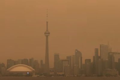
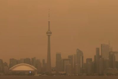
Toronto Sees Coldest Day Of The Season, Extreme Drop Of Temperature Forecasted
Toronto had the coldest day of the season on Monday. Environment Canada warned that extreme cold was expected all through the week.
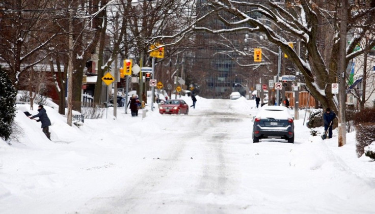
"Frigid Arctic air-mass" hit Southern Ontario on Monday as certain areas in Eastern Ontario was expected to dip below -300C. The weather alert, on the other hand, spared Toronto from the extremities in the coming week. According to Environment Canada, a deep freeze is setting in as temperatures hovered around -100C in Toronto on Monday. However, the wind-chill made it feel like -200C. Toronto is later expected to see a further drop throughout the week. The lowest temperature of the city will go as low as -200C.
More than 150,000 Hydro Quebec customers lost electricity as crews worked to restore power. National Post reports that an ice storm dumped more than 10 centimetres of heavy snow. A huge part of the greater Montreal was left paralysed after a freezing rain on Sunday. Trees got toppled and sidewalks turned into sheets of ice as there were extensive blackouts. Stretches of road got turned into large ponds of slushy water. Around 95 per cent of houses, which were left with no power due to the ice storm on Sunday, had their lines restored. According to Hydro-Québec, around 6,700 houses are still with no electricity in Quebec. Quebec City is expected to witness a drop of temperature with -230C at night and -340C with the wind chill.
Certain parts of Atlantic Canada are going to witness much warmer weather than the rest of the country. The temperature was as high as 70C in St. John's on Monday. Temperatures in Halifax and Charlottetown were 50C and 20C respectively. Victoria and the Metro Vancouver region will also see warmer weather. Temperatures in the regions are expected to reach 80C and 70C respectively. CTV News reports that there is heavy snow forecasted in Prince George as the temperature held steady at around -150C throughout the day.
There were a number of accidents including rollovers and multi-car collisions. There were down embankments and cars slid into ditches in Revelstoke, Kamloops and Maple Ridge. Crews responded appropriately to the accidents.
Contact the writer: s.mukhopadhyay@IBTimes.com.au
- MOST POPULAR IN Science