Global Storms: Japan Braces for Halong, Hawaii Prepares for 2 Storms
When it rains, it definitely does pour, at least for Hawaii which is advising its residents to brace for two storms next week. On the other end of the world, Japan is likewise being eyed by a monster typhoon.
Expected to make landfall in southern Japan on Friday, Halong recently became the third super typhoon of 2014 in the Western Pacific basin.
Its possible landfall zone is wide, according to the Joint Typhoon Warning Center, which could surround from the coast of South Korea to northeast Japan.
Halong will make landfall as a Category One typhoon or a strong tropical storm, Japan's second tropical cyclone for this season.
But while already weakened, Typhoon Halong could still trigger deadly landslides and coastal flooding, primarily because parts of Japan have been inundated by Tropical Storm Nakri over the last few days.
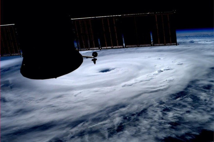
Typhoon Halong will bring severe impacts to Japan late week. Kochi saw 45.00 in rain just last week. pic.twitter.com/IvQtaKqoG4
— Anthony Sagliani (@anthonywx) August 4, 2014
Tropical Storm Nakri had dumped as much as 44.82 inches of rain on the large southern island of Shikoku, which actually lies in the path of Halong.
Weather.com reported Halong is now moving toward the north-northeast, potentially going for the Ryukyu Islands of far southern Japan, including Okinawa, late this week.
Kadena Air Base could feel its wrath on Wedesday and Thursday. Japan's 2,000-populated Daito Islands, 200 miles east of Okinawa, will receive a direct hit from the typhoon, according to Weather.com.
Hurricane Iselle and Tropical Storm (TS) Julio, meantime, are expected to lash out at Hawaii over the next two weeks.
Hurricane Iselle, which hit Category 4 intensity on Monday, has weakened is still considered a major hurricane with maximum sustained winds of 125 mph.
It is expected to reach Hawaii's Big Island on Thursday night.
Meantime, in the Pacific Ocean, here's menacing Category 4 Hurricane Iselle. Tracking towards Hawaii, but will weaken pic.twitter.com/WACXplJGGV
— Jim Loznicka WGCL (@LoznickaCBS46) August 4, 2014
"Interests in the Hawaiian Islands should closely monitor the progress of Iselle. However, it is important not to focus too closely on the exact track and intensity forecasts because the average track error 72 hours out is about 100 miles, the average intensity error is about 15 kt. In addition, the hazards of a tropical cyclone can extend over a broad area well away from the center," the National Hurricane Center said.
Tropical Storm Julio, meantime, could threaten Hawaii during the weekend or early next week. Weather forecasters expect it to weaken as it approaches Hawaii.
"For Thursday and beyond, there is the possibility for unsettled weather associated with two tropical cyclones beginning late Thursday and continuing into early next weekend," the NOAA's National Weather Service said on its Web site.
Only 7 tropical cyclones of TS+ intensity have hit HI, now 2 in 3 DAYS?! #iselle #julio @capitalweather pic.twitter.com/YUpRwBCLJi
— Brian McNoldy (@BMcNoldy) August 5, 2014
EUMETSAT (European Organisation for the Exploitation of Meteorological Satellites) was able to capture a satellite image of Iselle and Julio seemingly hobnobbing with each other.
Image here.
- MOST POPULAR IN Politics & Policy