Canada In For Storm On Christmas Day: Snow Forecast
Canada, particularly Nova Scotia, could be in for a storm this Christmas Day. Environment Canada said the Maritimes could feel an intense weather system later this week.
The weather bureau said those in the region could experience rain all day Wednesday, progressing to become heavier on Christmas Day. The Vanguard said the developing system's rainfall amounts and wind strength could approach or exceed warning criteria, fuelled by the strong southerly winds and warm temperatures.
Environment Canada warned residents to watch out for coastal water levels and waves because tides will be hitting high this week. Accuweather said the storm could result to flash floods for people in the Maritimes.
Meantime, winter has officially arrived in Canada on Sunday when the winter solstice struck at 6:03 p.m. This phenomenon happens when the North Pole tilts farthest of at least 23.5 degrees away from the Sun.
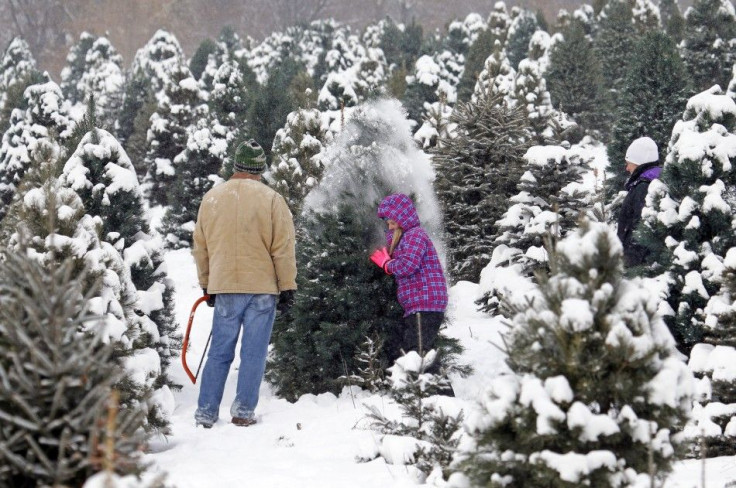
As such, Canadians are already wondering if the postcard perfect Christmas look, one where there is snow on the ground and then there's more falling from the skies, will happen this 2014. Dave Phillips, senior Environment Canada Climatologist, said if Canadians want that, they have to drive up north. Because for 2014, a huge part of the country won't see any snow at all, while those that have it right now, will no longer be receiving anymore.
It was in 2008 when every city in Canada experience a white Christmas. Unfortunately, it has yet to happen again. Actually, Atlantic Canada remains as the region where cold temperatures still ran the same during Christmas. "We have warmer winters now... chances for a white Christmas are less now than they used to be when people like myself used to be children," Phillips said.
The senior Environment Canada Climatologist added only four areas remain that have a potential for white Christmas. These are Yellowknife, Whitehorse, Kenora and Iqaluit.
There are areas which could be receiving snow this Christmas week. But a white Christmas is described only as such if there is a "two-centimetre layer of snow on the ground at a city's airport at 7 am ET."
Accuweather released this probability of 2-cm snow on the ground on Christmas Day (as of Dec. 18)
Vancouver, BC 5 percent
Kelowna, BC 40 percent
Prince George, BC 60 percent
Edmonton, AB 80 percent
Calgary, AB 40 percent
Saskatoon, Sask 90 percent
Regina, Sask 75 percent
Winnipeg, Man 80 percent
Thunder Bay, Ont 95 percent
North Bay, Ont 85 percent
Sault Ste. Marie, Ont 95 percent
Windsor, Ont 35 percent
London, Ont 40 percent
Toronto, Ont 30 percent
St. Catharines, Ont 50 percent
Peterborough, Ont 35 percent
Kingston, Ont 30 percent
Barrie, Ont 65 percent
Ottawa, Ont 45 percent
Montreal, Que 50 percent
Quebec City, Que 70 percent
Saint John, NB 10 percent
Fredericton, NB 60 percent
Charlottetown, PEI 15 percent
Halifax, NS 0 percent
St. John's, NL 10 percent
- MOST POPULAR IN Politics & Policy