

Hurricane Ida Reverses Mississippi River Flow, Knocks Out Power In New Orleans
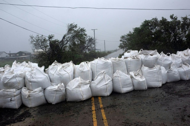
Hurricane Ida, which made landfall as a Category 4 storm in Louisiana on Sunday, reversed the Mississippi River’s flow and shut down power across New Orleans city. Even as the hurricane has weakened after landfall, the NWS warned of “a life threatening situation” around the areas near the St. John Baptist Parish and the St. Charles Parish due to rainfall of 6 to 10 inches and storm surges.
The National Weather Service (NWS) declared a flash flood emergency in the cities of Hammond, Tickfaw and Ponchatoula until 1 a.m. ET and urged the residents to seek higher ground. And President Joe Biden approved Louisiana's request for a major federal disaster declaration, making federal funding available to help individuals and business owners recover from the effects of the disaster.
Preliminary data from the U.S. Geological Survey revealed that Ida temporarily reversed the flow of the Mississippi River in the area near Belle Chase as it flooded streets, submerged vehicles, and flipped over some trucks.
New Orleans city officials said the entire city’s power has been cut. Energy company Entergy confirmed that all of New Orleans has no power, and the only part of the city with power was using generators. It said power will not be restored Sunday night.
In its 10:00 PM CDT update, the National Hurricane Center (NHC) said Ida has started moving northward “over southeastern Louisiana.” The NHC warned of “catastrophic storm surge, extreme winds, and flash flooding” in some parts of southeastern Louisiana. The National Weather Service (NWS) said Ida has weakened to a Category 3 storm. However, the New Orleans office warned of “a life threatening situation” around the areas near the St. John Baptist Parish and the St. Charles Parish due to rainfall of 6 to 10 inches and storm surges.
Ida has now been downgraded to a Category 2 storm, with maximum winds of 105 miles per hour.
- As of 10:00 PM CDT, Ida was located near longitude 90.7 West, latitude 30.3 North
- Hurricane Ida is now moving toward the north-northwest at 9 mph, or 15km, per hour
- Expected to turn northward early Monday and spread further inland over southeastern Louisiana and southwestern Mississippi through Monday morning
- Expected to move northeast at a faster pace by Tuesday
- Storm Surge Warning
- Lake Borgne
- Lake Pontchartrain
- Mobile Bay
- Lake Maurepas
- Morgan City, Louisiana to the Alabama/Florida border
- Hurricane Warning
- Metropolitan New Orleans
- Morgan City, Louisiana to the Mouth of the Pearl River
- Tropical Storm Warning
- Mouth of the Pearl River to the Alabama/Florida border
- West of Morgan City, Louisiana
- Intracoastal City Louisiana
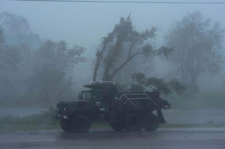
Hurricane Ida hit Louisiana Sunday with maximum sustained winds of 150 mph. According to the latest reports, Ida now has maximum sustained winds of 105 mph or 165km per hour. Ida is expected to continue bringing heavy rainfall across southeast Louisiana, southwestern Alabama, and coastal Mississippi throughout Monday evening and bring “considerable flooding” in parts of the Mid-Atlantic, Tennessee Valley, Upper Ohio Valley, Lower Mississippi Valley, and the Central Appalachians through Wednesday.
Oil prices have risen as Hurrican Ida smashes into the Gulf of Mexico, raising concerns about near-term production Photo: AFP / Mark Felix


