NASA Operation IceBridge Survey Flight Captures Breathtaking Views of Greenland [PHOTOS]
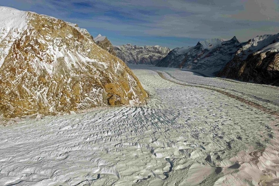
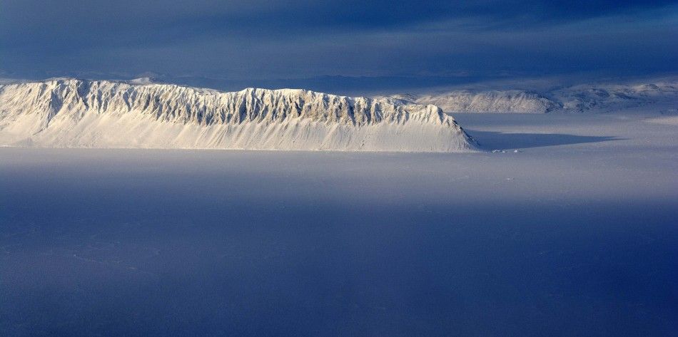
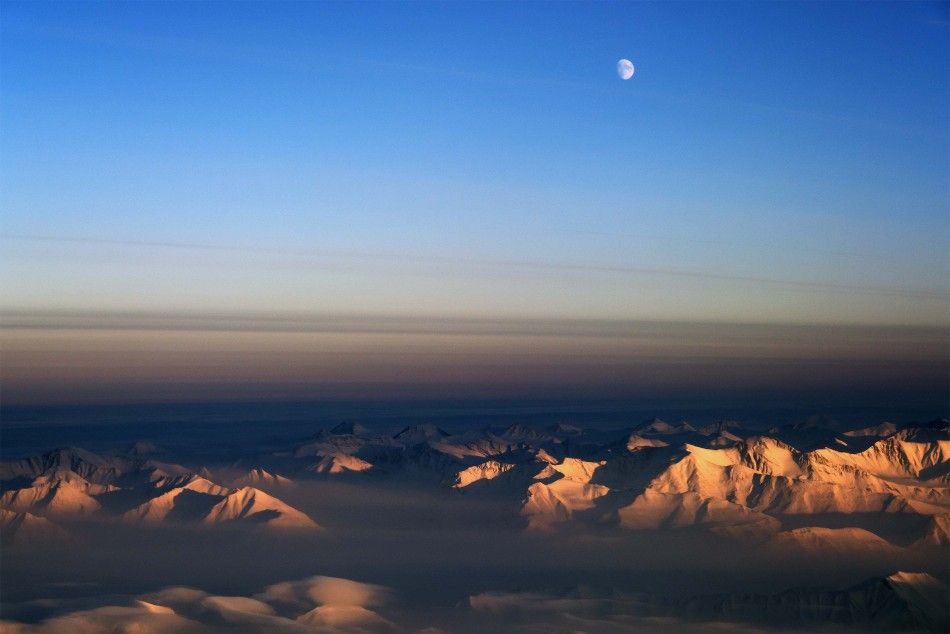
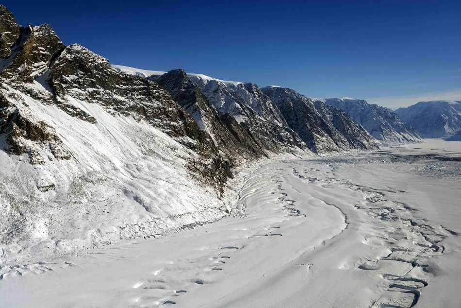
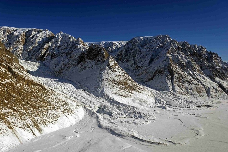
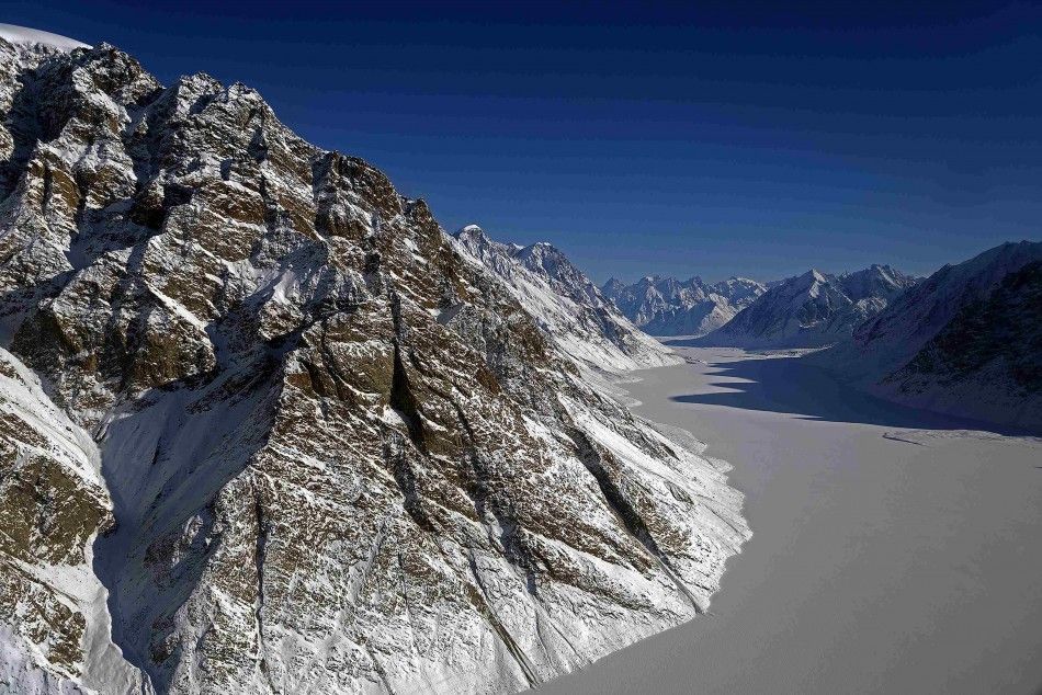
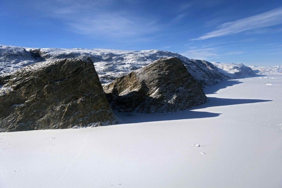
A look at a new world where ice is as natural as soil has been given importance as NASA IceBridge mission presents the world an array of Greenland's breathtaking view.
The IceBridge mission, also known NASA "Operation IceBridge," is a six-year airborne mission. The survey flight, according to NASA, is a mission that offers views of the Arctic and Antarctic ice sheets, ice shelves and sea ice.
NASA said the survey flight will provide the scientists the help to "bridge the gap" between the NASA's Ice, Cloud and Land Elevation Satellite (ICESat)" and the NASA's ICESat-2.
According to NASA, ICESat is the standard Earth Observing mission for measuring the mass balance of ice sheet, cloud and aerosol heights and land topography and vegetation characteristics, while ICESat-2 is the second generation ICESat.
As stated by NASA, ICESat had been in orbit since 2003, but had stopped in 2009, while ICESat 2 is yet to take flight in early 2016.
The IceBridge survey flights are set to be done in March-May over Greenland and October-November over Antarctica. There are other smaller airborne surveys worldwide which are also part of the IceBridge campaign.
On March 26, NASA reported that the IceBridge team moved from Thule Air Base where it was currently at and went out to measure thick multiyear ice in Ellesmere Island. But the weather had not been entirely cooperative so IceBridge team had to say in the area for another day. March 28 was when the IceBridge team finally got the chance to move ahead and go to Canada.
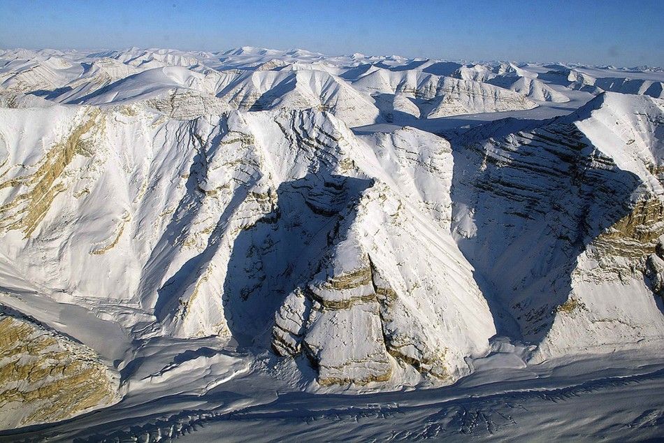
On April 1 the IceBridge team flew from Thule toward Canada's Ellesmere Island to the west of Greenland, and the IceBridge team was reported to continue its study of the sea ice as part of its 2014 Arctic campaign.
Images of the Canadian glaciers were then captured, presenting the world a look of a place where nobody, except scientists, have really been able to step foot on.
According to NASA, IceBridge researchers were using the airborne topographic mapper laser altimeter to measure ice surface elevation and the multichannel coherent radar depth sounder as a way to measure the thickness and mapping the location of the rock beneath the ice.
Also, NASA's IceBridge team was also reported to resurvey a line on Eureka Sound, which is considered to be a high Arctic waterway in Qikiqtaaluk, Nunavut, Canada.
READ MORE:
Astronomers in Chile Discover Huge Diamond Engagement Ring in Space; Things to Know About 'Celestial Gem' [Click HERE]
NASA's Cassini Mission Detects Large Hidden Ocean inside Saturn's Moon Enceladus; A Possibility of Extraterrestrial Life [Click HERE]
Midwest Region of U.S. Boasts More Photosynthetic Activity Than Any Other Spot on Earth - NASA [Click HERE]
NASA Hubble Space Telescope Celebrates 24 Years in Space; Releases New Image of Monkey Head Nebula [Click HERE]
