

Malaysian Flight MH370 Latest Update: New Search Images Reveal Unknown Seabed Details In The Indian Ocean [Watch Video]
While mapping the underwater terrain in the search for the Malaysian Airlines Flight MH370, extinct volcanoes, deep trenches, high ridges and 1,400-metre depressions have been discovered for the first time. This discovery has been made on the seabed of the southern Indian Ocean, where experts think that the plane may have most likely crashed into.
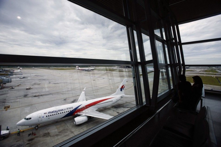
On March 8, the flight had gone missing along with 239 people on board, leaving no trace behind. Search operations were conducted by 26 countries, reported BBC. But there is no trace of the flight. The team at Australian Transport Safety Bureau, or ATSB is leading the search for the plane and they are using sonar to map the seabed of the Southern Indian Ocean.
In their search for the plane they have made a big discovery on the seabed, in the most "secret part of the world," reports BBC. It states that there are better maps of Mars than there are of this part of the underwater terrain in the Southern Indian Ocean. This area has not been explored and remained a mystery until now.
Three dimensional images of the discovery were revealed by the Australian authorities on Friday. In the statement released, the ATSB stated that these sea bed features have been discovered for the first time. The underwater survey has found "finer-scale seabed features," that was not previously captured by satellite-derived bathymetry data, the agency added.
Since this is a top priority area where they presume that the plane may have gone down to, a detailed survey is being conducted. After this an underwater search for the wreckage would begin. This sonar mapping is highly essential as the under water investigation would be done by deep water vehicles, reported AFP. A lack of this information would be dangerous as the vehicles could crash into the volcanoes or the towering ridges.
The maps would help avoid the obstacles. Further, the vehicles have sonar and camera to help detect any object and photograph it, respectively. This would help identify if any object detected is wreckage or not. According to the BBC, there is also an "electronic nose that can smell aviation fuel in the water, even if it is heavily diluted."
Though the survey provides details of the many seabed features, Simon Boxall from the National Oceanography Centre says that it cannot detect the air craft due to the very coarse resolution. Describing their discovery he said that the bumps on the sea floor that are seen on the flat plain are bigger than Ben Nevis. "Five kilometres (3 miles) across and typically rising 1.5km (0.9 miles) from the sea floor. The terrain of the area around Broken Ridge makes the European Alps look like foothills," he said.
The deep sea search is set to begin next month.
Source: YouTube/Latest News


