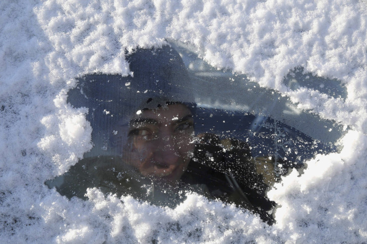
Atlantic Canada Advised To Brace For New Round Of Winter Storms

Residents in Atlantic Canada have been advised to brace for a round of back-to-back-to-back winter storm systems starting Thursday and that could possibly last through into next week.
The Weather Network said the one due to arrive on Thursday will impact Nova Scotia, Cape Breton and Halifax. Parts of Nova Scotia could received anywhere from 2-15 centimetres of snow, while Newfoundland could receive up 20 centimetres. Residents could expect light snow beginning to fall along the Atlantic-facing shores of Nova Scotia late Thursday afternoon or into the evening hours going towards Friday morning. Eastern Newfoundland will feel the snow Thursday night into Friday tapering off by Friday night
The next batch of storm will arrive late Saturday, and could stay through Sunday and into Monday, the Weather Network said, which described the system as “more complex.” Weather forecasters saw it carries an abundance of moisture that could create a messy mix of precipitation.
"This system has the potential to be fairly powerful with regards to high precipitation totals as well as fairly strong winds with the low rapidly strengthening (deepening) as it moves up the east coast," Dayna Vettese, Weather Network meteorologist, said. Asked for the track, Vettese said they still have yet to finally ascertain where it’s really headed because the track could take the different precipitation types. “A heavy swath of snow is expected, but right now the challenge is determining who will see snow, and who will see rain and freezing rain."
The Maritimes could experience precipitation overnight Saturday into Sunday. Increasing winds could also be felt throughout the period. Precipitation is expected to end Sunday night. Newfoundland and Labrador could start to feel it beginning Sunday morning and should end Monday morning.
Weather forecasters have seen a third system possibly making its presence felt by Tuesday. But they said it’s still too early to predict how it will play out.
Here's the inconvenient truth for Thursday's #nsstorm. The snowfall range for #Halifax is 0-30 cm, depending on track pic.twitter.com/oKwdfMdH72
- Chris Scott (@ChrisScottWx) January 21, 2015


